Cutting-Edge Lidar based sensors and Mobile Mapping Solutions.
Lidar 3D Sensors
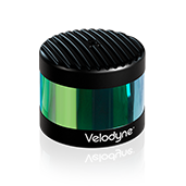
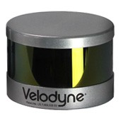
Velodyne LiDAR –the market leader in Lidar technology provides a full line of Lidar sensors capable of delivering the most accurate real time 3D data on the market.
The real-time LiDAR sensor technology is being used in a variety of commercial applications including autonomous vehicles, vehicle safety systems, 3D mobile mapping, 3D aerial mapping and security.
Veoldyne’s product line of high quality Lidar sensors includes the PUCK Hi-Res, PUCK LITE™, PUCK™ (VLP-16), the HDL-32E and HDL-64E.
Mobile Mapping Solutions
Combining Lidar with GPS and IMU sensors- our mobile mapping solutions are fully integrated LiDAR mapping payloads that are the ultimate fit for small unmanned vehicles (UAVs). These precise Positioning, Navigation and Timing (PNT) solutions are designed to address a wide range of demanding requirements for air, sea and land, including high speed pointing/attitude and relative position/angle applications.
Compatible Software products- including software toolbox, visualization and analysis tools specially developed to help you handle your resulting PNT data easily and quickly.
Applications are as diverse as the platforms using this information ranging from PNT for stationary or slowly moving platforms such as Aerostats to PNT for high-dynamic aircraft and everything in between.
Our leading mobile mapping solutions include the Geodetics Geo-MMS and the Routescene LidarPod®.
For more information please review our products and solutions below or go to:


